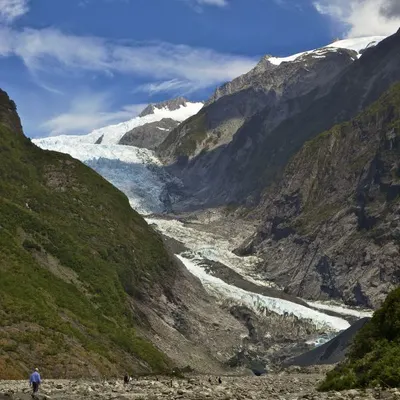
Tracking Global Glacier Melt from Space
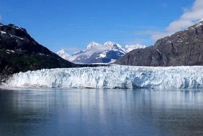
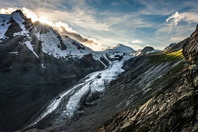
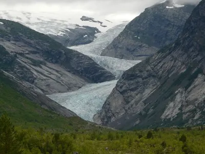
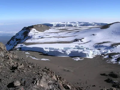
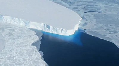
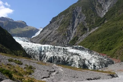
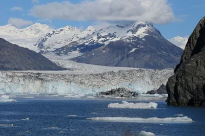
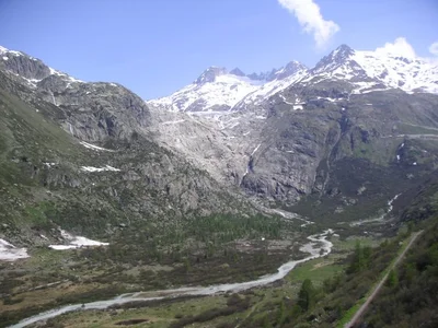
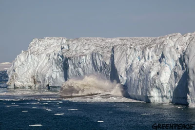
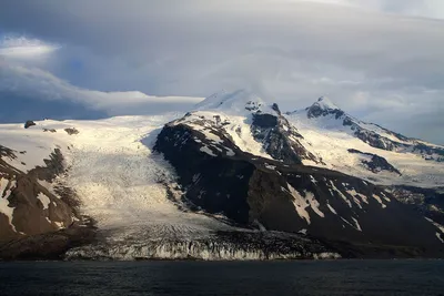
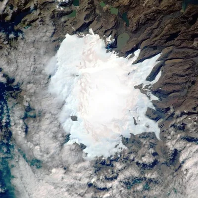
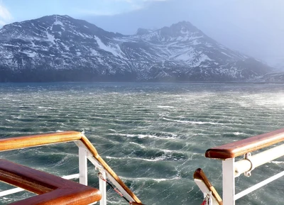
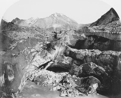
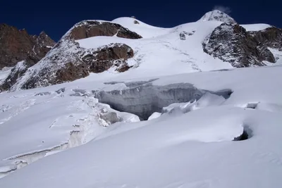
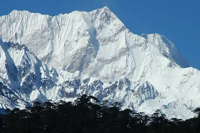
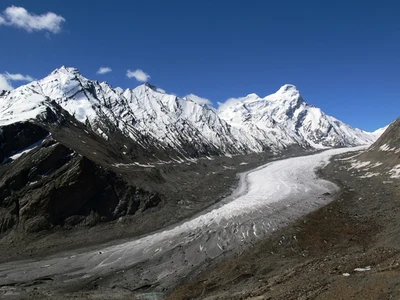
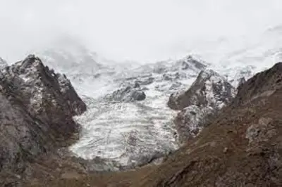
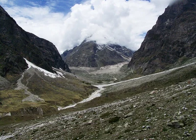
Glaciers across the world are shrinking at an unprecedented rate — a visible sign of climate change. At icemelt.eu, we provide a unique window into this transformation through satellite imagery and time-lapse views of glaciers. By observing these frozen landscapes from space, you can explore how ice has retreated over recent decades, understand the pace of global warming, and see the impact on regions from the Arctic to the Himalayas. Our mission is to make climate change visible, accessible, and scientifically engaging for everyone.
Whether you’re a researcher, educator, student, or simply curious, our platform highlights before-and-after satellite images, data visualizations, and insights on glacier retreat. By bringing together science and imagery, icemelt.eu helps you witness how climate change is reshaping the planet’s most fragile ecosystems — and why protecting them matters.
View glaciers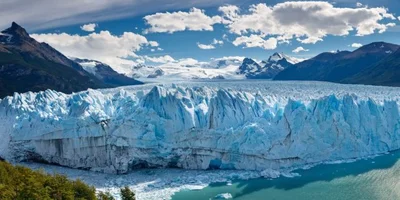

There are many legitimate sources of information claiming that glaciers are melting. We decided to gather satellite images to show their evolution over time. Here are some sources:
- World Glacier Monitoring Service (WGMS) — Annual reports and glacier mass-balance data
- Zemp et al., Nature (2019) — Global glacier mass loss 1961–2016
- NASA Climate — Land Ice (satellite monitoring of glaciers and ice sheets)
- NSIDC (National Snow and Ice Data Center) — Glaciers overview and data
- IPCC Special Report on the Ocean and Cryosphere in a Changing Climate (SROCC)
- IPCC AR6 WG1 (2021) — Chapter 9: Ocean, Cryosphere and Sea Level Change
- Hugonnet et al. (2024) — Community estimate of glacier mass loss 2000–2023
- Copernicus Climate Change Service — European State of the Climate 2023 (glacier section)
All images are harvested from Copernicus Open Access Hub (previously known as Sentinels Scientific Data Hub).
This website is not affiliated with any organization.
Contact: itspmap@gmail.com