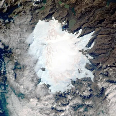
Satellite time-lapse glacier viewer
Tracking global glacier melt from space
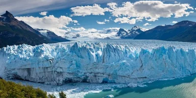
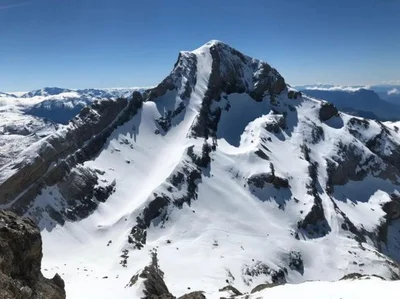
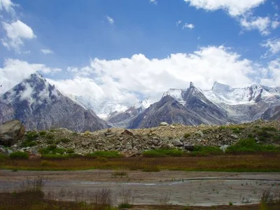
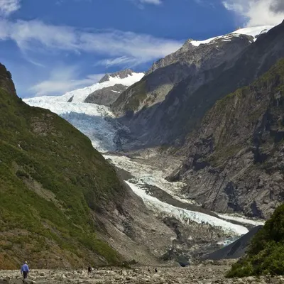
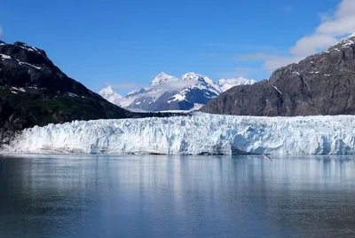
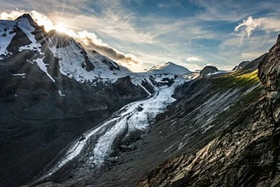
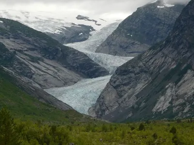
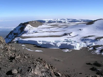
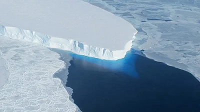
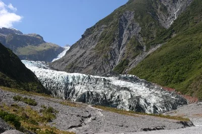
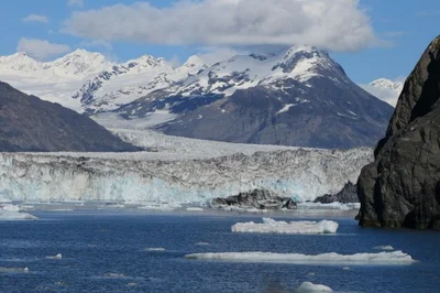
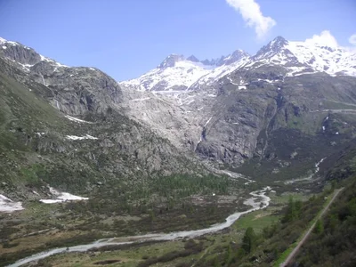
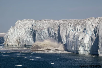
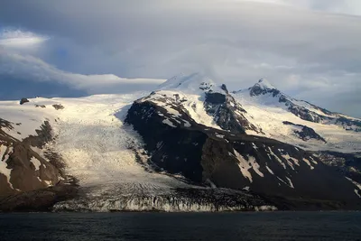
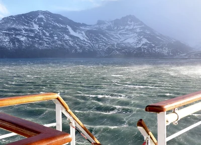
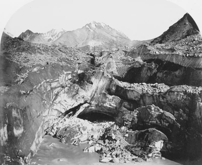
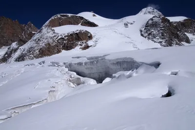
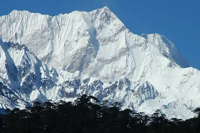
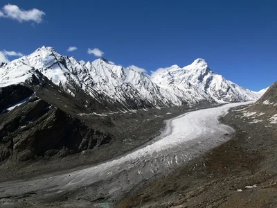
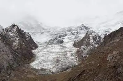
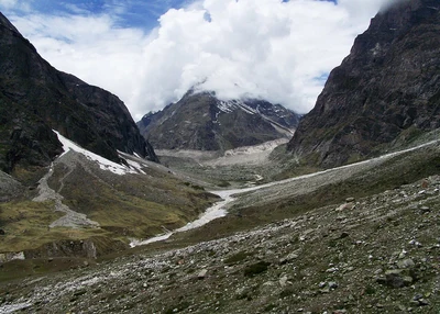
Glaciers across the world are shrinking at an unprecedented rate. Icemelt brings together satellite imagery and time-lapse views so you can see how frozen landscapes have retreated over recent decades.
Explore
Glaciers
Open a glacier to scrub through dated satellite captures, play the sequence, or download the animation as a GIF.

About
About this website
Icemelt gathers satellite images to make glacier retreat visible, inspectable, and easy to compare over time.
There are many legitimate sources of information showing that glaciers are melting. Here are some references:
- World Glacier Monitoring Service (WGMS): Annual reports and glacier mass-balance data
- Zemp et al., Nature (2019): Global glacier mass loss 1961-2016
- NASA Climate: Land Ice satellite monitoring
- NSIDC: Glaciers overview and data
- IPCC SROCC: Ocean and Cryosphere in a Changing Climate
- IPCC AR6 WG1 (2021): Ocean, Cryosphere and Sea Level Change
- Hugonnet et al. (2024): Community estimate of glacier mass loss 2000-2023
- Copernicus Climate Change Service: European State of the Climate 2023
All images are harvested from Copernicus Open Access Hub, previously known as Sentinels Scientific Data Hub.
This website is not affiliated with any organization.
Contact: itspmap@gmail.com